
Download and print free Lake District walks
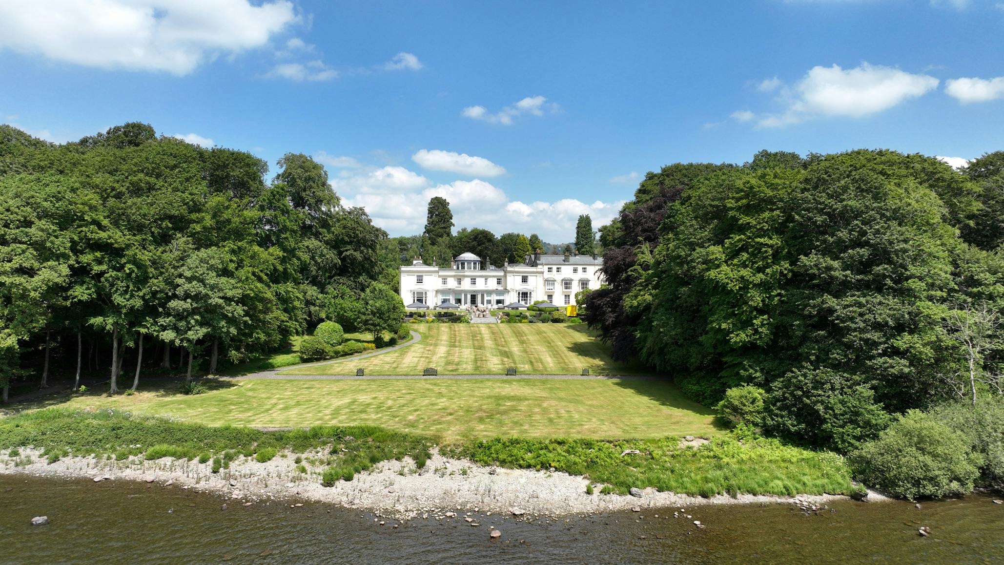
Explore the local area
We love sharing some of our favourite local walks with our guests - many of them are off the beaten track so you can avoid the crowds. Download our free Lake District walking routes and maps here or ask reception for a paper copy.
Right from our door
The surprisingly varied Ghyll Head Fell. Diverse environments, and amazing wildflowers from Spring to Autumn. There’s a great view of Windermere and the surrounding mountains, plus a couple of pretty tarns. Ask for our walk information at Reception or download our free printable walking route & map here: Full Route (PDF, 3.4MB) | Short Route (PDF, 2.8MB) »
Gummer's How
It’s popular for a good reason. Only 10 minutes away from Storrs, you can park near the summit. It’s great for little legs, and the 360 views sweeping out to sea and back around to the central mountains are phenomenal. Download our free printable walking route & map here (PDF, 1MB) »
Low High Dam
Young families will love this well-kept local treasure, largely undiscovered by tourists. The gentle woodland trail culminates at peaceful water lily pools, creating an enchanting hideaway that feels like stepping into a storybook landscape. Download our free printable walking route & map here (PDF, 0,5MB) »
Head south for something different
Whitbarrow, the biggest of the knots and scars on the Lakes' coastline, not the highest but punching way above their weight for habitats and views. Whitbarrow is swathed in temperate rainforest and footed by salt marshes - super eco credentials. Download our free printable walking route & map here (PDF, 0.5MB) »
The west shoreline of Windermere
Easy to walk as it’s a private lane most of the way, leading from the ferry landing to Wray castle. Wending its way through woodland along the lakeshore. In Summer there’s a boat service back to Bowness.
A Central Lakes favourite
Loughrigg Fell between Ambleside and Grasmere. A small if steep fell with beautiful views down Windermere and over Grasmere. Always popular. Parking is expensive at White Moss Common but it’s a base to do a loop taking in the caves.
Scout Scar
A very short ascent from the car park across the road reaches the top of this whaleback hill edged by cliffs. Dramatic but easy. Beautiful views over the Lyth Valley famous for Damson orchards, and out to the Kent Estuary.
Hampsfell
Above the pretty seaside town of Grange over Sands and the Cartmel Valley, where the Kent Estuary widens out to the phenomenal Morecambe Bay. This is a mixed walk of woodland and open fell, the views are the star attraction.
Beach walks
Bardsea just outside Ulverston, is our closest beach. There’s a broad swathe of wild flower-filled salt marsh. Don’t be tempted to wander out far as this is still part of the dangerous Morecambe Bay, notorious for its quicksands.
Silecroft
A scenic drive winding through the south Lakes landscape, an incentive itself. There’s a car park right on the beach. Time your visit for low tide with straight miles of hard sand edged by dune cliffs, the water quality is excellent.